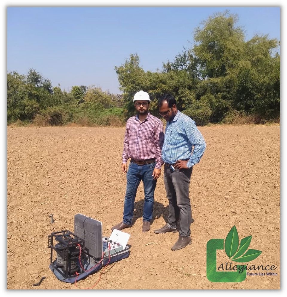
The geoelectric resistivity method has been widely used to determine the thickness and resistivity of layered media for the purpose of assessing groundwater potential and siting boreholes in fractured unconfined aquifers. It is based on the concept of subsurface determination, which can yield useful information on the structure, composition and water content of the soil. It is used to determine the aquifer depth, stratigraphy and water quality of the aquifer. It is one of the geophysical methods that study the nature of electrical current in the earth and to know the change of resistance of rock layers beneath the soil surface by passing a DC current (direct current) that has high voltage into the ground.
Applications of Resistivity and GeoPhysical Investigation:
- Location of Dugwell, Borewell, Tubewell on site
- Movement of Groundwater flow
- Granular zone in sedimentary areas
- Sea water intrusion studies
- Deep aquifers and Quality of water
- Artificial groundwater recharge
Geoelectric surveys conducted by team Allegiance have the advantage of data acquisition and sub-surface modeling that can be done only with a simple and compact equipment which is economical as well as reliable in providing accurate data in a short time. The electric resistivity survey is very efficient for identifying, mapping and monitoring groundwater for Industrial and Commercial projects as per Central Ground Water Board (CGWB) Guidelines.